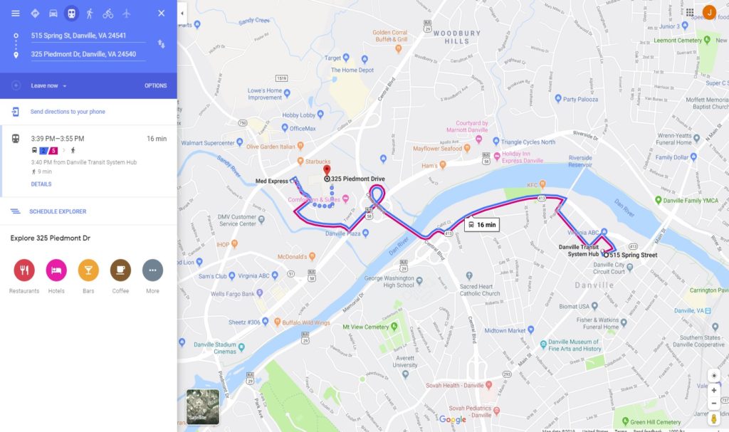
Danville Transit route information is now available on the transit element of Google Maps. Planning a commute trip or other personal trip by bus in the city of Danville is now easier than ever, since Google Maps will enable you to view route information, the time the next available bus leaves, as well as other details to help you get where you need to go. Danville Transit joins other transit agencies located near our region which are included on Google Maps including Valley Metro in Roanoke, Radford Transit, Pulaski Area Transit, Blacksburg Transit, and GLTC in Lynchburg.
To access Danville Transit’s route information on Google Maps, simply navigate to googlemaps.com on your mobile device or personal computer. On your mobile device, simply scroll down and click the bus icon; if using a PC, click on the directions icon located on the left sidebar. Next, input the address you’re starting at and the address of your destination in the appropriate spaces, and the bus route will auto-generate on your screen. In addition to the route, any walking segments will be shown if the bus does not stop at the exact addresses you specify. The next available scheduled bus will be shown, in addition to other information.
RIDE Solutions coordinated with Danville Transit to provide route information to Google to make this integration with Google Maps possible. In addition to serving as an excellent resource to plan transit trip – particularly on the spur of the moment – Google Maps has integrated Danville Transit into the RIDE Solutions app, meaning that bus service on Danville Transit is now an option in the app, in addition to carpooling/vanpooling, walking, and bicycling.
If you have not yet registered for the FREE RIDE Solutions app, do so today at ridesolutions.org!


