

We are now a few weeks into the COVID-19 national emergency, through which we have been encouraged to stay home; we’re also a few days into the stay at home order issued by Governor Northam on March 30th. Despite not being able to enjoy many of the things we took for granted as recently as a few weeks ago with the threat of COVID-19 all around us, one of the few things we can do is get outdoors for exercise and to connect with nature, providing we do it in a responsible manner that does not put ourselves or others at risk of contracting the virus.
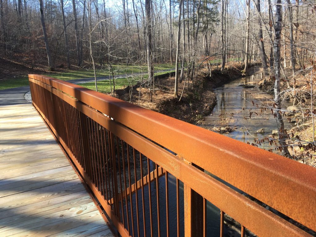
In early January, I posted a blog about the completion of an approximately 2.7-mile segment of the Dick and Willie Passage Trail, which opened last fall. This trail segment extends from a new trailhead along Spruce Street near the City of Martinsville and the Henry County border southeast to the Smith River Sports Complex located in the county. Walking or biking this trail is a great way to not only exercise, but to reconnect with nature, as it runs along scenic Mulberry Creek.
As of a few days ago, residents of Pittsylvania County had a new recreational resource available to them. A 0.4-mile segment of the Gretna walking trail, representing the first phase of this planned walking path, now connects the Gretna Industrial Park with the Centra Gretna Medical Center. According to an article in the Chatham Star Tribune, the trail runs past a fountain, and may therefore provide a nice respite from our new normal. If you live in Gretna and are employed at the medical facility or at the industrial park, you may want to consider using the trail to walk to and from work – and earn points while doing it, via the RIDE Solutions app!
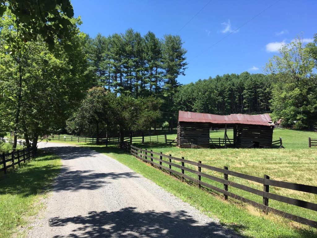
If you’re like me and spend much of your day behind a computer in your living room or home office (as many of us are doing these days), and are thinking of a nice cycling workout after work or over the weekend, the region offers many excellent places at which to take your bicycle out for a spin. I was among a team who a couple of years ago developed the West Piedmont Regional Bicycle Plan, which provides recommendations for a network of routes throughout our four-county, two-city region. Many routes in this plan were carried over from the original plan adopted in 2005, but many are new. An effort was made to identify routes with relatively low traffic volumes, a low percentage of truck traffic, good sight distance (for safety), manageable terrain, and good scenery. As part of this updated plan, we developed three focus areas which we believed would be conducive to enjoyable bicycling and safe bicycling. These include the following:
- Beaches to Bluegrass Priority Route. This route generally follows the planned Beaches to Bluegrass Trail, developed by the Virginia Department of Conservation and Recreation (DCR), which traverses the state from Cumberland Gap, Tennessee east to Virginia Beach. This route passes through Patrick, Henry, and Pittsylvania counties, and the cities of Danville and Martinsville.
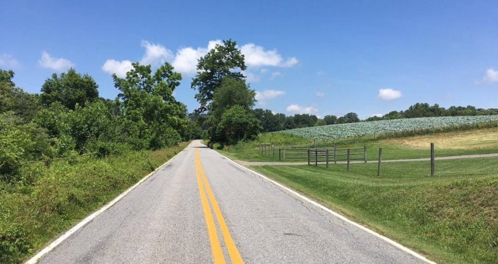
- Alternative U.S. Route 29 Priority Route. This route spans Pittsylvania County from south to north, running generally parallel to U.S. Route 29. Unlike Route 29, however, this priority corridor consists largely of scenic country roads with little traffic, some of which are unpaved.
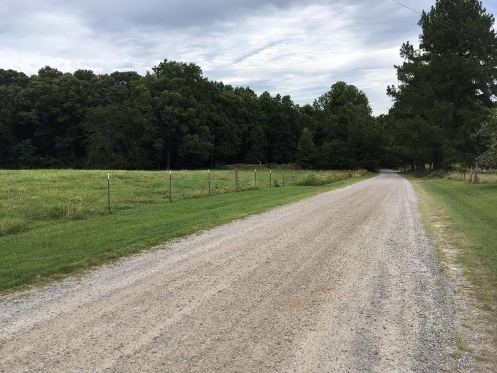
- Franklin County Priority Zone. Unlike the previous two priority recommendations for cyclists, the third, the Franklin County Priority Zone, is not a corridor but a large area covering western Franklin County west of the Town of Rocky Mount. This area of Franklin County is characterized by country roads with mostly low traffic volumes, outstanding scenery, and a mix of paved and unpaved roads. Additionally, one can bicycle from this priority zone to the Blue Ridge Parkway via Callaway Road or Five Mile Mountain Road/Franklin Pike, though the terrain can be challenging.
The interactive map of the West Piedmont Regional Bicycle Plan can be accessed at https://wppdc.maps.arcgis.com/apps/View/index.html?appid=abfe3df1b6ec4769aff2253d528fe2e9&extent=-80.3966,36.5503,-79.3420,37.0073. A unique aspect of this interactive map is that the user can click on the recommended routes (depicted as green lines), and a menu of information will pop up, which includes the traffic volume, expressed as Annual Average Daily Traffic (AADT); the posted speed limit; and the type of road surface (paved vs unpaved). This feature provides the rider some additional information about the routes before he or she goes out.
Not only is it desirable to spend time outdoors, especially now as spring comes into bloom, but reconnecting with nature and exercising are important for our physical and mental health. In fact, Chapter 2 of the West Piedmont Regional Bicycle Plan notes that “[A] Duke University study revealed that for depression, exercise was as effective as anti-depressant medications and psychotherapy. (Pg. 16)” So when you’re dusting off your bike or searching for your running shoes, consider that exercising is far more beneficial to us than just keeping us physically healthy. To view the planning document of the bicycle plan where this, and other valuable and interesting information can be found, visit http://www.wppdc.org/content/wppdc/uploads/PDF/docs_publications/transportation/wppd__regional_bicycle_plan_final.pdf. Additionally, if your employment requires that you continue to commute to a workplace during this emergency and you would like to walk or bike (if you bike, you can certainly use the Regional Bicycle Plan as a resource to plan your commute), make sure you log your trips to earn points toward rewards. To download the free RIDE Solutions app, please visit ridesolutions.org. Have a great weekend, and stay safe!