

As we head into late October, the fall weather has finally arrived and the remnants of summer have breathed their last. If you’re looking forward to viewing nature’s beautiful transition from summer to winter, the next two to three weeks will be the critical time, according to smokymountains.com, which offers an interactive map of fall foliage predictions: https://smokymountains.com/fall-foliage-map/. While many will drive to various places to catch the fall color, you may want to take a slower pace on your bike. In the following paragraphs I will provide some areas in the region which may offer great leaf-viewing using recommended bicycle routes from the West Piedmont Planning District Regional Bicycle Plan for many of the locations described herein.
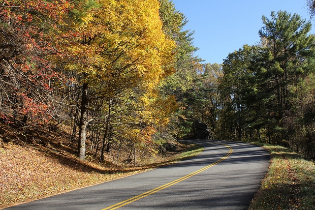
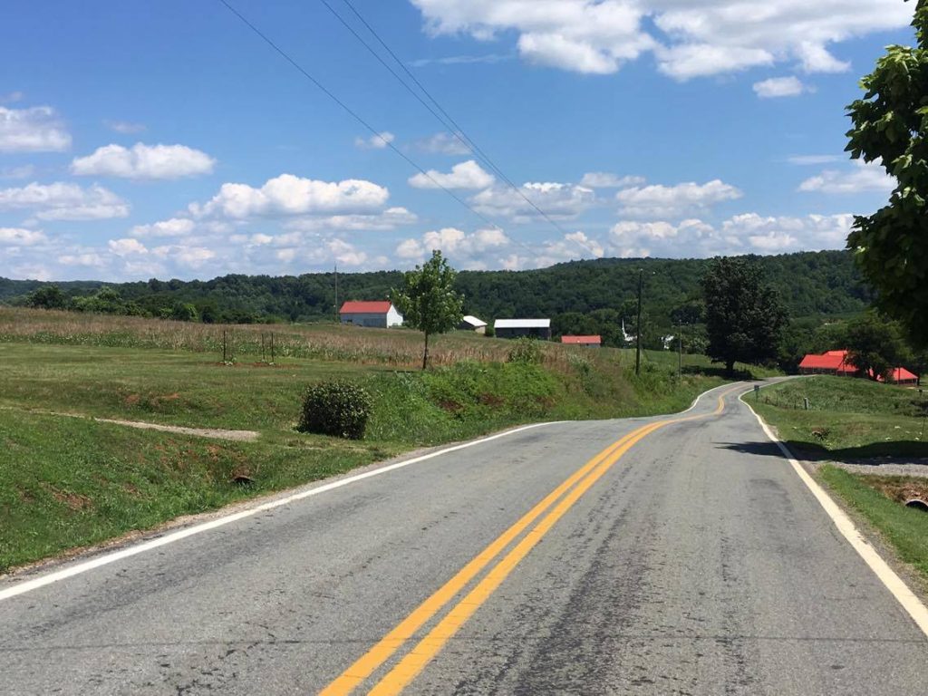
The Blue Ridge Parkway offers outstanding views of the foliage, and is a premier destination for leaf-viewing this time of year. Meadows of Dan is a great place to start such a biking trip, and seasonal gifts and unique items can be found in the numerous establishments in that area. The iconic Mabry Mill is located just about 1.5 miles north of Meadows of Dan, along the Blue Ridge Parkway. Be mindful, however, that leaf-viewing traffic along the parkway will likely be heavy, so plan for that. Below is a photo of the Blue Ridge Parkway in the West Piedmont Planning District.
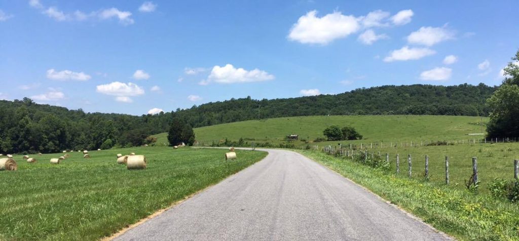
If you feel more comfortable riding at a leisurely pace on back roads with only an occasional car or truck, the West Piedmont region offers ample opportunities for you to view the countryside and its beautiful foliage. If you feel like embarking on a challenging ride, Squirrel Spur Road, located in western Patrick County, offers outstanding scenery and relatively little traffic. This road is characterized by significant elevation change, however, but the scenery will be well worth the effort. Below is a photo of Squirrel Spur Road.
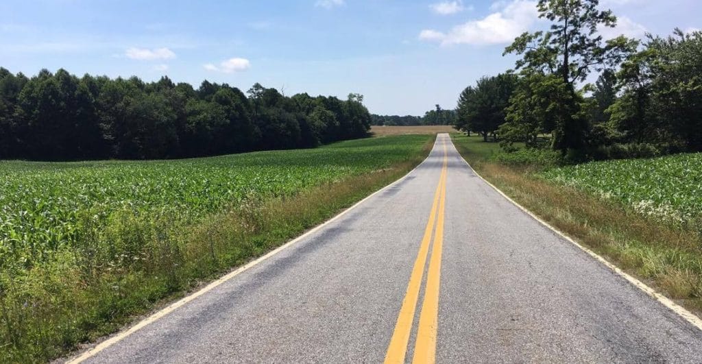
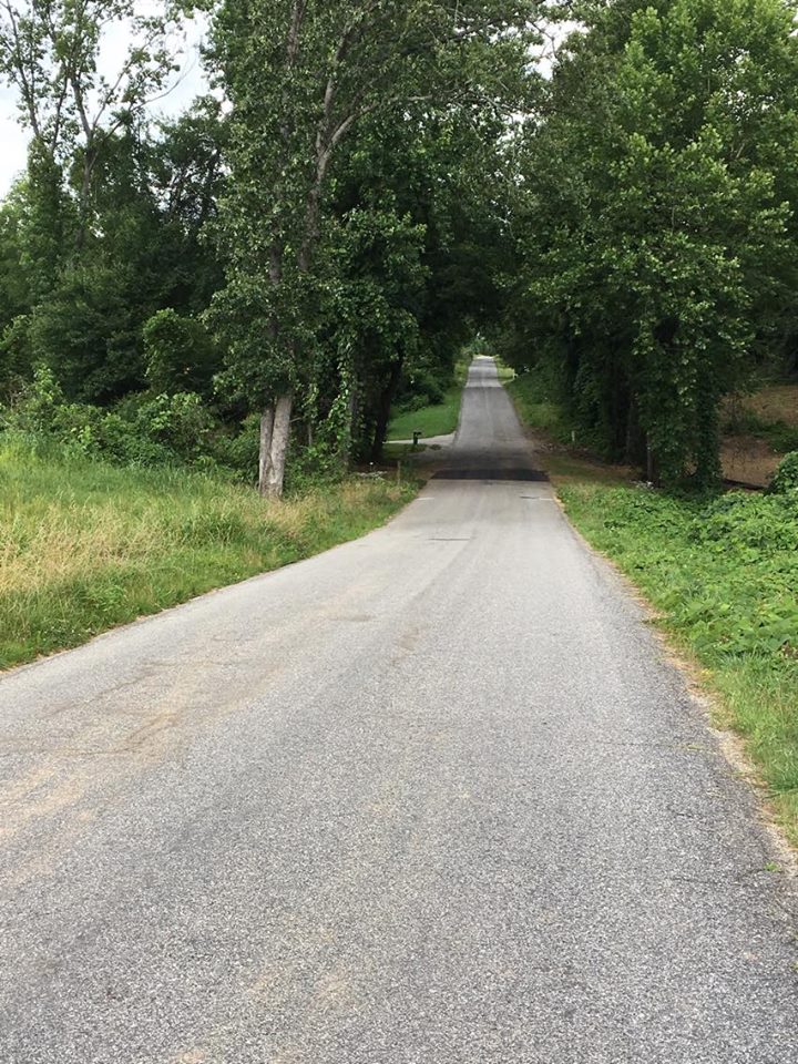
If you prefer riding in a topographically flatter setting with low traffic volumes, a network of country roads traversing Patrick County from east to west incudes Archie’s Creek Road, Hatcher’s Chapel Road, Big Dan Lake Road, Gammons Road, Mills School Road, Elastic Plant Road, Brushy Mountain Road, Collinstown Road, Dangler Mountain Road, Creasy Chapel Road, a short segment of Dry Pond Highway (Route 103), Peters Creek Drive, and Dobyns Road, which will bring you into the Town of Stuart. If you are planning to use a road bike, take note that a few segments of this route are comprised of gravel/dirt roads; check out the Regional Bicycle Plan for details on road surfaces at the end of this blog. Below is a photo of Archie’s Creek Road.
Franklin County also offers great cycling opportunities along sparsely-traveled roadways without too much topographical relief. One great ride is Wades Gap Road, extending from Dillons Mill Road about six miles north to Naff Road. While there is some topographical relief on this road, traffic volumes are very low, the road is paved, and it is only modestly wider than a multi-use path, virtually guaranteeing relatively slow-moving traffic. Below is a photo of Wades Gap Road.
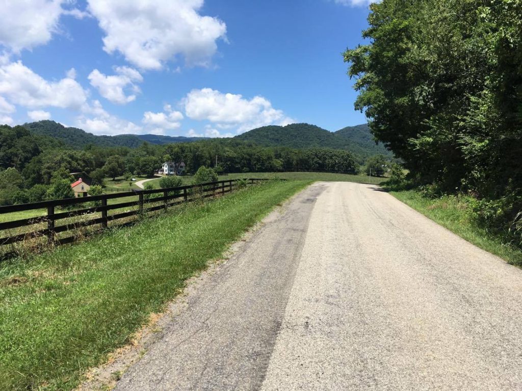
If you don’t mind some topographical relief and you would like to bicycle from Callaway, in western Franklin County, to the Blue Ridge Parkway, take Callaway Road, which brings the cyclist directly to the Parkway along a paved road with relatively low traffic volumes. While the trip will be uphill at least some of the way to the Blue Ridge Parkway, it will be downhill on the way back. The one-way distance is between 10 and 11 miles. Below is a photo of Callaway Road.
If the Henry County or Pittsylvania County area is closer to where you would like to ride, the West Piedmont Regional Bicycle Plan has mapped out a route which generally follows the Beaches to Bluegrass Trail, which traverses the region east to west. A nice ride, with relatively low to moderate traffic volumes begins at the Smith River Sports Complex along Sportsplex Way and follows Irisburg Road east to a short segment of Axton Road and then Cascade Road near the county line. From the county line, continue east on Cascade Road, which becomes Loblolly Drive in Pittsylvania County, and then intersects Cascade Mill Road. At the intersection, turn right onto Cascade Mill Road, which becomes Unicorn Road. At the intersection, located in the Cascade community, continue east on Huntington Trail. If you wish to continue to Danville, continue east on Huntington Trail, then turn left on Oak Hill Road, turn right onto Ed Hardy Road (which is a gravel road), and then continue on Horseshoe Road. Turn right onto Loomfixer Lake Road, turn left onto a very short segment of Berry Hill Road, then turn right onto Bachelor Hall Farm Road (a gravel road). Bachelor Hall Farm Road becomes Oak Ridge Farm Road, and then turn right onto Vandola Church Road which turns into Vandola Road, and enters the City of Danville, where you connect to Westover Drive. Below is a photo of Huntington Trail.
Many of the routes for fall foliage bicycling recommended above are included in the West Piedmont Regional Bicycle Plan’s interactive map, located at https://wppdc.maps.arcgis.com/apps/View/index.html?appid=abfe3df1b6ec4769aff2253d528fe2e9&extent=-80.3966,36.5503,-79.3420,37.0073. The green lines superimposed over the roads denote recommended bike routes, and these are clickable, in many cases presenting information such as road surface, speed limit, and average daily traffic volume. The map also includes selectable points of interest such as restaurants, breweries/wineries, campgrounds, libraries, museums, and other attractions and destinations. The legend for this map can be found by expanding the legend icon on the top left portion of the screen.
In addition to recreational bicycling, you can earn points for rewards through the RIDE Solutions app for biking to work, if this is a feasible option for you. Simply go to ridesolutions.org to download the free app and begin to log your trips!